Videos of Yellow Bay on Flathead Lake
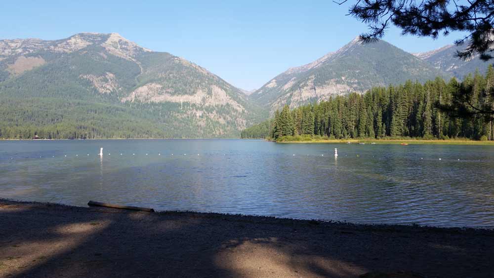
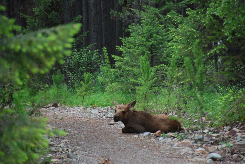
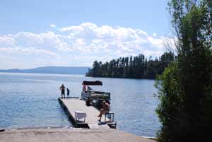 Yellow Bay is in the heart of the famous Montana sweet cherry orchards. Cherry blossoms color the hillsides during spring. In the summer, cherries can be purchased at nearby roadside stands or U-Pick orchards. The park includes Yellow Bay Creek and a wide, gravelly beach. Among its attractions are boating, lake trout fishing, water skiing, bird watching, swimming, camping, and scuba diving. The park is 15 acres in size at an elevation of 2,907 feet. It offers 5 tent sites.
There are both flush and vault toilets, a group day-use area, pedestal grills, picnic tables, trash cans, and drinking water. No open fires are allowed, only charcoal. There is a 14 day camping limit during a 30 day period. Boat ramp and dock available. A joint state/tribal fishing license is required at this sit. Campground open May 1 through September 30.
Fees are charged for camping and day use.
For more information about Yellow Bay State Park on Flathead Lake visit http://stateparks.mt.gov
Yellow Bay on Flathead Lake
The Go Hike with Mike trail guide contains most every trail head in the Flathead and Kootenai Forest as well as the Mission Mountain Tribal Wilderness. Click here to purchase your copy.
 These are all Flathead Lake Videos. There are thirteen public access sites around the lake. These sites include: Sportsman’s Bridge, Somers,
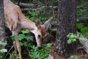
 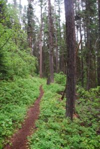 Hiking in Montana is a great way to explore the state while experiencing nature and wildlife. Mike has taken some videos of day hikes. He thought you might enjoy watching them. Each trail offers an adventure into the vast openness of Montana. From scenic day hikes in
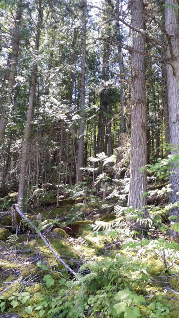
  A picnic area provides day use visitors with the opportunity to enjoy a peaceful lunch, and there are day hiking opportunities near Bowman Lake for hikers eager to experience Glacier’s wilderness. Fisherman, canoers, and kayakers will enjoy the recreational opportunities Bowman Lake offers.
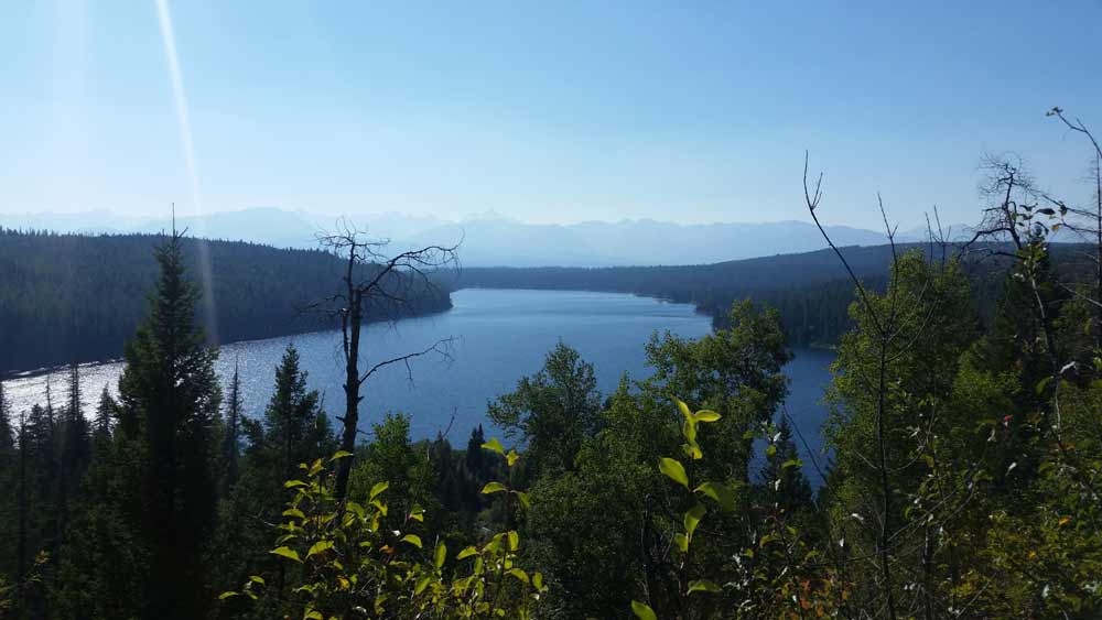
 Murray Bay Campground is located high in the Rocky Mountains, less than
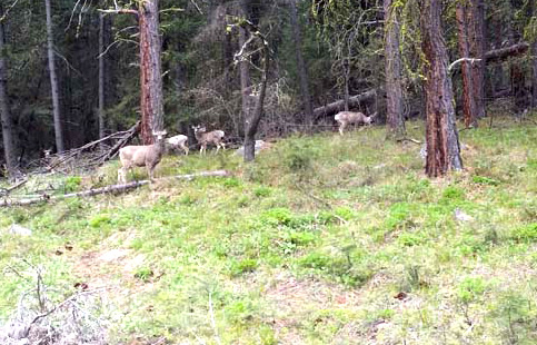
 Website: