The Flathead Lake Trail Guide.
See you on the Trail.
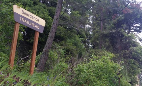
If you have ben looing to hike around Flathead Lake you need to get to know Mike. The Go Hike With Mike Trail Guide post just about every trail. Maybe you might stumble upon one not in the guide, but it is unlikely.
The guide is all about camping & hiking around Flathead Lake.
Mike has been hiking, wandering, hunting and spending time in these woods for more then 20 years. The guide includes trails as far north as Polebridge, and the Hungry Horse recreation area, and east to the Swan Front and Swan Valley. To the north the guide contains trail head and campground information in and around Tally Lake.
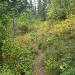
Hiking Around Flathead Lake
The trail guide is focused on trails, camping and being in the woods. Mike’s Flathead Lake Trail Guide breaks the area in five easy to use sections. North of Flathead lake, including The Talley Lake area and due north to Polebridge. East of Flathead Lake, including the Swan Front, Swan Valley, and on into the Hungry Horse recreation area. The guide contains most every trail Mike has hiked in the last 20 years or plans to hike in the next 20 years.
CLICK HERE TO PURCHASE YOUR COPY.
Don’t need the hiking guide, just some basic trail information, do not fret. Mike has included some beginner to medium hikes on this website. Depending on were you as staying there is most likely a trail head near you. Thanks for visiting, hope to see you on the trail.
Follow Mike on Instagram or subscribe to his YouTube Channel
#gohikewithmike

 The Mission Mountains Tribal Wilderness is located on the western slopes of the Mission Range. The area covers approximately 91,778 acres. It is roughly 34 miles long and five miles wide. Elevations range from four thousand to nearly ten thousand feet.
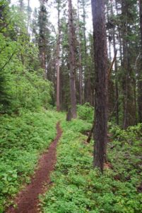
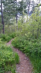 There are many quality hiking very close to Montana’s Flathead Lake. The views from these hikes around Flathead Lake are both beautiful and vast. Hiking is a great way to explore the area while experiencing nature and wildlife. We have created a list of trails you may enjoy. The list of trails when hiking Flathead Lake can be found below.
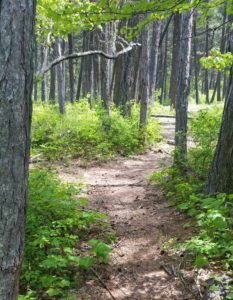 The Go Hike with Mike Trail Guide contains most every trail head around Flathead Lake. The guide includes trails as far north as Polebridge.
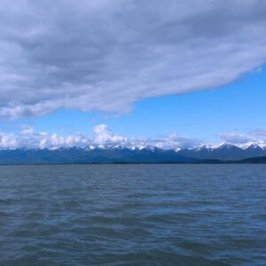 Visiting Montana. We provide information and content for folks who are visiting Montana. Thank you for visiting our site. Many years back the Flathead Lake Vacation Guide was written to provide tourist with the information they needed while visiting Montana.
 Website: