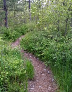
Strawberry Lake Trail #5
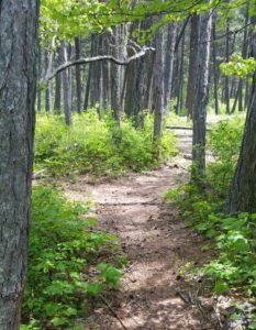
The Strawberry Lake trail is 2.8 miles long and climbs 1,500 feet. It begins at the end of Forest Service Road #5390 and ends at the junction with Alpine Trail #7. This trail switchbacks up a wooded ridge and then flattens out and sidehills for the last 1.5 miles to the alpine lake. The trail is open for the following uses: Hiking, horseback riding, mountain biking, and motorcycle trail riding.
 Directions:
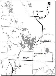
From Bigfork, go North on Highway 35 for 2.3 miles and turn right onto Highway 83. Stay on 83 for 2.8 miles and turn left onto Echo Lake Rd. After 2.2 miles, turn slightly right onto Foothill Rd. bear left after 1.1 miles to stay on the Foothill Rd. Drive for 2.7 miles, then turn right onto Road 5390 and drive for 3.3 miles, the trailhead is located at the end of this road.
Length : 2.8 miles
Elevation : 4,137 feet – 5,611 feet
190 pages packed with trailheads, camping spots, and local information around Flathead Lake.
The trail guide is focused on trails, camping and being in the woods. Mike’s Flathead Lake Trail Guide breaks the area in five easy to use sections. North of Flathead lake, including The Talley Lake area and due north to Polebridge. East of Flathead Lake, including the Swan Front, Swan Valley, and on into the Hungry Horse recreation area. The guide contains most every trail Mike has hiked in the last 20 years or plans to hike in the next 20 years.
 The Go Hike with Mike Trail Guide contains most every trail head around Flathead Lake. The guide includes trails as far north as Polebridge.
 Visiting Montana. We provide information and content for folks who are visiting Montana. Thank you for visiting our site. Many years back the Flathead Lake Vacation Guide was written to provide tourist with the information they needed while visiting Montana.


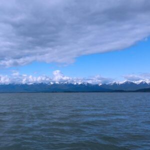 Flathead Lake is the largest natural freshwater lake in the western United States. Lying in the Flathead Valley of Northwest Montana, the lake is more then 300 feet deep and extends north and south some 28 miles and is seven to 15 miles wide.
 You can avail yourself of a boat tour or rent one of the many types of watercraft including canoes, kayaks, windsurfers, hydro bikes, sailing and fishing boats. Serious anglers can arm themselves with heavy-duty equipment and probe the 300-foot deep
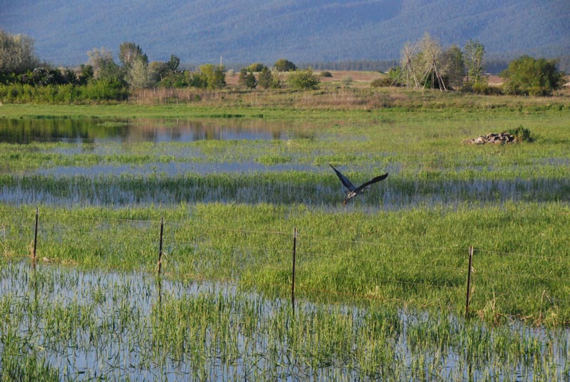
 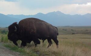 A large portion of the 18, 500 acre Range consists of native Palouse prairie; forests, wetlands, and streams are also found here providing a wide range of habitats for wildlife. Elk, deer, pronghorn, black bear, coyote and ground squirrels are just some of the mammals that share the area with 350 to 500 bison. Over 200 species of birds also call this home including eagles, hawks, meadowlarks, bluebirds, ducks, and geese.
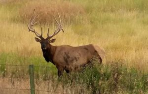 Prairie Drive/West Loop: a 5-mile gravel road that travels through the flats. It is open to trailers and large RVs. It goes by the Bison Display Pasture. Plan for 1/2 hour. Open year round.
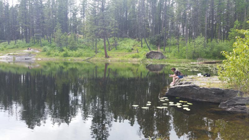
 The trail guide is focused on trails, camping and being in the woods. Mike’s
  Website: